
Air Quality, Weather, & Climate Research

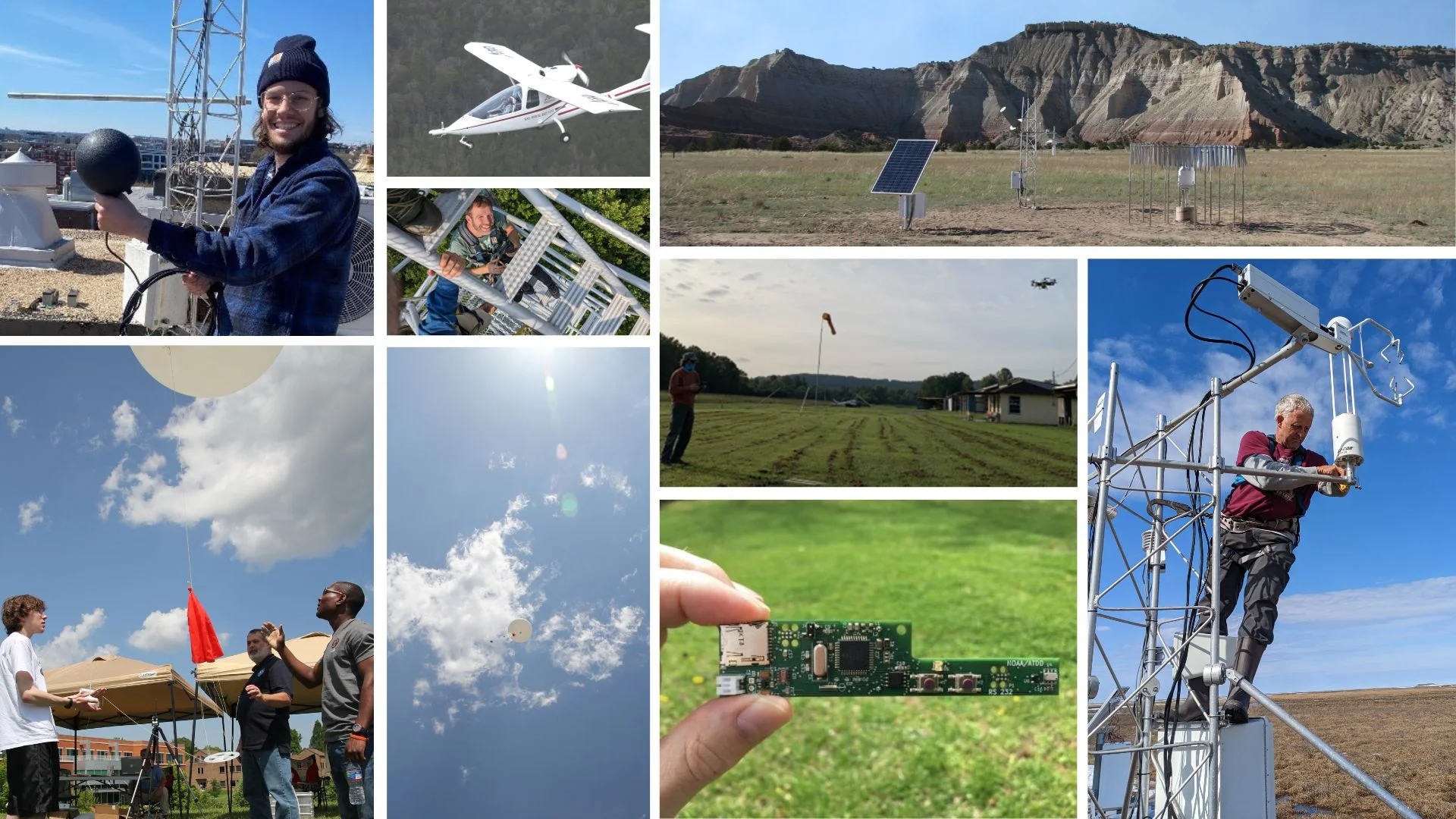
ORAU works in partnership with NOAA's Atmospheric Turbulence & Diffusion Division (ATDD) to perform advanced weather and climate research. This may involve activities such as flying drones to better understand patterns of unpredictable weather or engineering and maintaining the U.S. Climate Reference Network.

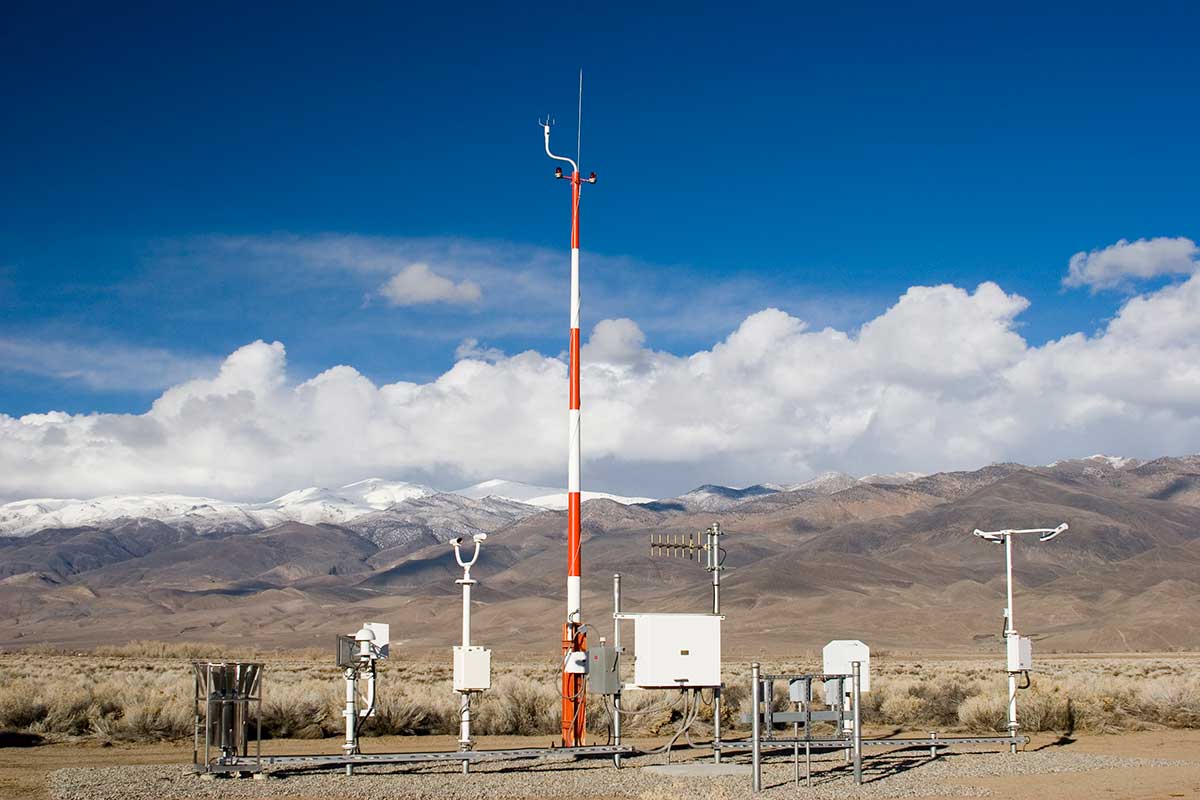
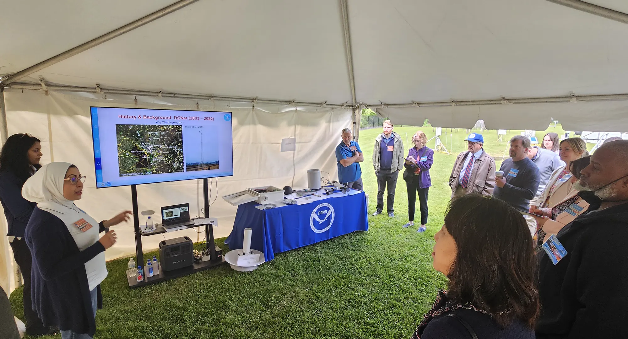
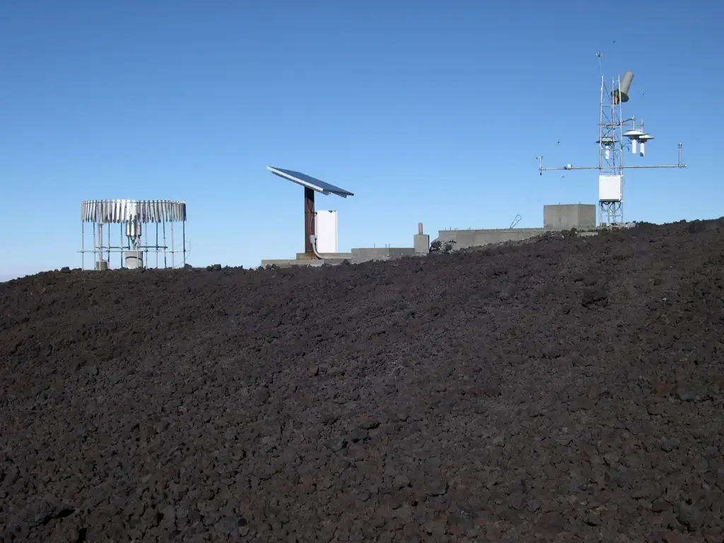
As a part of NOAA’s Air Resources Laboratory, ORAU’s atmospheric scientists at ATDD provide engineering expertise on the development and deployment of instrumentation and data analysis for short intensive campaigns to multi-decade, nationwide climate monitoring stations and systems. These innovative systems, such as the Best Airborne Turbulence (BAT) Probe and the U.S. Climate Reference Network, offer insight into the implications of climate change and air quality on a nationwide scale.

If you’ve ever questioned why tornadoes are disproportionately deadly in the Southeast, how pollutants affect local air quality, or how to continually improve monitoring and prediction of climate change, then you’re asking the questions ATDD experts are actively seeking answers to in their research.

Impact Areas

What is the Climate Reference Network?

The U.S. Climate Reference Network is a system of 114 climate monitoring stations scattered throughout the continental United States, with an additional 23 stations in Alaska (eventually 29 stations by 2027) and two in Hawaii. An additional station is located in Canada to benchmark the U.S. networks with our North American partners. 

All of the stations have sensors with the capabilities to read air temperature, precipitation, relative humidity, wind speed and solar radiation. Additionally, most of these stations also have sensors to read soil moisture, and soil temperature. The data collected through the U.S. Climate Reference Network are used to monitor trends in the nation's climate and support climate-impact research, while supporting water resource management.

Areas of expertise

Air Quality
  • Atmospheric modeling
  • Reactive nitrogen
  • Surface-atmosphere exchange

Climate

  • U.S. Climate Reference Network
  • Snow measurements
  • Surface Energy Budget Network

Boundary Layer Processes

  • Surface-layer meteorology
  • Hydrometeorology
  • Severe weather information
  • Uncrewed aircraft
Weather station in desert location

ORAU is making an impact on air quality, weather, and climate research

ORAU's work with the National Oceanic and Atmospheric Administration's Atmospheric Turbulence and Diffusion Division is one of the hidden gems of our company. Our team's work focuses on climate research, atmospheric chemistry and dispersion, and boundary layer characterization. The Climate Reference Network, in particular, is a series of 100+ stations around the country that collect data to monitor climate. Kathy Rollow and Mark Hall discuss the importance of the Climate Reference Network, how they keep these stations operating in harsh conditions, and the importance the work of the team working for NOAA ATDD.

Videocast for Episode 95  Listen to Episode 95  Transcript (.DOCX)

Further Together podcast logo

ATDD researchers install FOCAL tower in Alaska to measure greenhouse gases and water vapor

Researchers with the ATDD Air Resources Laboratory (ARL) traveled to Prudhoe Bay, Alaska, to begin tower installations that support observations of emissions over the North Slope of Alaska. ARL participates in the Flux Observations of Carbon from an Airborne Laboratory (FOCAL) campaign to measure greenhouse gases and water vapor over this region of Alaska from a small aircraft operating at low altitudes. Photo credit: NOAA ATDD

Read more about their research

ATDD team, left to right: Tom Wood, Praveena Krishnan, Dominick Christensen, and Mark Heuer after the successful installation of the FOCAL site 2

ORAU atmospheric scientists help take uncrewed aircraft to new heights in hurricane research

Did you know that uncrewed aircraft serve as a missing link for hurricane research? NOAA currently has two new aircraft that are designed with slim, tubular bodies and have the wingspan of a vulture, measuring about four feet. These aircraft are similar in size to drones that would be used to deliver packages or capture aerial photos; not the type one would imagine flying into a hurricane.

These aircraft, built by Area-I and BlackSwift Technologies, will be used to monitor the growth and movement of hurricanes while they are still far away from land. Their goal is to collect data that can be used to better predict how the storm's track and intensity will vary over time. NOAA's WP-3 aircraft will be used to deploy these expendable, uncrewed aircraft at a safe distance from the hurricane, while it is still far offshore, then receive data radioed from the drones as they fly into the eyewall and other critical parts of the storm. In near real-time, the data are then sent to forecasters at the National Hurricane Center to better predict the hurricane's track and intensity, as well as improve computer models used for predictions of future hurricanes.

The Area-I Altius aircraft was deployed from the NOAA WP-3 into Hurricane Ian near the west coast of Florida on September 29, 2022. Data from this historic flight are still being analyzed, but promises to yield new insights into the structure of the eyewall and the energy exchange between the ocean's surface and the lowest layer of air in the storm, known as the boundary layer.

The Flying Coyote weather drone measures growth and movement of hurricanes

Contact us

For more information about contracting with ORAU, contact Kathy Rollow at (865) 206-4264 or kathy.rollow@orau.org.